If you live in Miami, you’ve probably said it yourself: “Is it ever going to stop raining?” September felt like a downpour almost every day, and many residents turned to Reddit to vent about soggy weekends, ruined plans, and streets that looked like rivers. While you can’t control the weather, you can control how well your property handles it. That’s where a property survey comes in.
Most people think of a property survey as a way to mark boundaries or prevent neighbor disputes. But in Miami, it plays another critical role: showing how your land drains, or doesn’t. With flat terrain, shallow swales, and the constant threat of king tides, water management is one of the most important reasons to know your lot’s true elevation.
Why Drainage Problems Aren’t Just Bad Luck
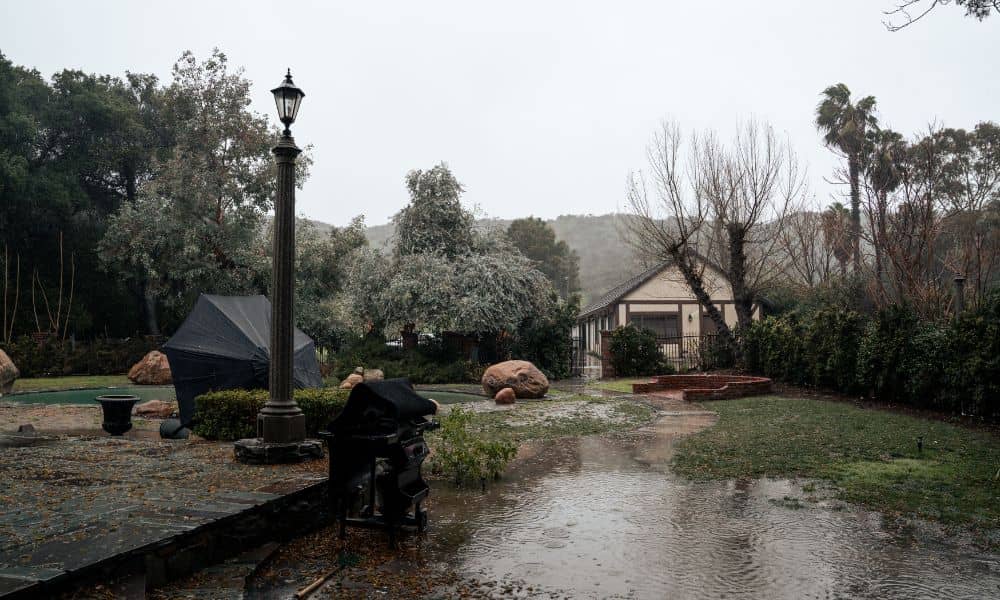
Daily rain might feel like Mother Nature picking on you, but standing water has less to do with the sky and more to do with the ground. Miami’s geography makes it especially challenging. Our lots sit just a few feet above sea level, and in many neighborhoods the soil doesn’t absorb water quickly. If your yard turns into a pond every afternoon, it’s usually because the surface slopes and grades weren’t measured correctly or have changed over time.
A property survey doesn’t just draw lines on paper. It records exact spot elevations across your lot. Those tiny differences—sometimes just a few inches—decide whether rainwater drains toward the street, collects in your backyard, or seeps into your garage. When water has nowhere to go, it stays put. That’s why you see puddles long after the storm clouds clear.
What Homeowners Notice First
On Reddit and around town, homeowners describe the same frustrations: driveways that flood at the slightest storm, backyards where grass dies from sitting water, and swales that don’t connect properly between lots. Some even blame their neighbors for filling in soil or paving driveways too high, forcing water onto their property.
These complaints aren’t just about comfort. Poor drainage can damage foundations, rot wood fences, and make mosquito breeding a daily concern. And when king tides roll in, the mix of rain and saltwater adds a whole new layer of risk.
That’s why relying on “eyeballing it” doesn’t work. Without measurements, you don’t know if your garage floor sits lower than the street or if your swale is tilted uphill instead of down. A property survey makes these hidden issues visible.
How a Property Survey Helps

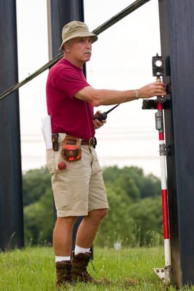
Imagine having a map of your yard that shows exactly where water wants to flow. That’s essentially what a property survey provides when it includes elevation data. Surveyors take shots at key points: driveway aprons, low corners of the yard, swale connections, and the finished floor of your home.
From this, you can see:
- Driveway slope: Does water drain toward the street or back into your garage?
- Low spots: Are there depressions that hold water for hours after rain?
- Swale alignment: Do your swales line up with your neighbors’, or is one side too high?
- House safety: How your finished floor elevation compares to the lowest grade around it.
This information is powerful. It tells you whether re-grading a section of lawn will solve the problem, or if you need a more complex solution like a French drain. It also gives you documentation to share with contractors, engineers, or even your insurance provider if flooding becomes a concern.
Real Examples Around Miami
Take a homeowner in Kendall who saw standing water along a fence line every afternoon. The survey showed that a neighbor’s lot had been filled several inches higher, cutting off the swale. With clear measurements, the fix was simple: re-cut the swale and restore flow.
In Edgewater, a condo association worried about garage flooding during king tides. Their survey revealed the finished floor of the garage sat just 0.4 feet above the lowest adjacent grade. That margin was too slim, so they invested in pumps and protective barriers. Without the survey, they would have been guessing.
And in Miami Beach, a family kept losing plants in their backyard. A survey revealed the lowest corner of their lot was nearly a foot below the street level, creating a bowl effect. Armed with data, they installed a drain system tied to the city’s storm sewer. Problem solved.
What to Do With Survey Results
Once you have a property survey that highlights drainage issues, the next steps become clear. If the fixes are simple, like adjusting a driveway slope or re-grading a small yard section, a contractor can often handle them in a day. For bigger concerns, survey data allows civil engineers or landscapers to design solutions that actually work.
Sometimes, the information can even help reduce insurance costs. If your finished floor elevation is higher than expected, you may qualify for better flood insurance rates once it’s documented. If it’s lower, you’ll at least know the risk and can plan improvements before the next storm season.
Why Acting Now Matters
The weather isn’t getting drier anytime soon. Between daily rain showers, tropical storms, and king tides, water problems aren’t going away. Ignoring them only makes damage more expensive down the road. Rotting fences, cracked foundations, and flooded garages can cost thousands to repair.
A property survey is a small investment compared to that. It takes the guesswork out of drainage. Instead of wondering why your yard floods every afternoon, you’ll know exactly where the problem lies—and how to fix it.
Final Thoughts
Rain is part of life. But living with standing water doesn’t have to be. The next time you scroll through frustrated posts about endless storms, remember that many of those problems come down to grading and elevation.
Property surveys give you the blueprint to understand your land’s behavior. They show where water flows, where it stalls, and what needs to change. With that knowledge, you can protect your home, reclaim your yard, and stop letting daily rain dictate your life.
So if you’re tired of being rained out again and again, don’t just complain—take action. Call a licensed surveyor, get the data you need, and make your property work with the weather instead of against it.


