Elevation Survey Lessons from Failed Flood Plans

Key Biscayne had a plan to deal with flooding. It looked solid on paper. It had funding. Then it stalled. Parts of it were scrapped. Concerns came up. People pushed back. Work slowed down. Meanwhile, water still shows up when it rains. That gap matters. City plans can take years. Some never move forward. But […]
Why Lidar Mapping Still Needs Manual Linework Review
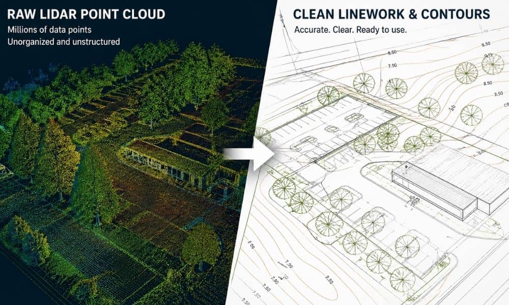
You’ve probably heard that lidar mapping is fast and accurate. That part is true. It can scan a site in hours and collect a huge amount of data. Because of that, many people assume the job is done once the scan is finished. That’s where things go off track. Lidar mapping gives you raw data. […]
What a Residential Surveyor Checks Before Adding a Pool
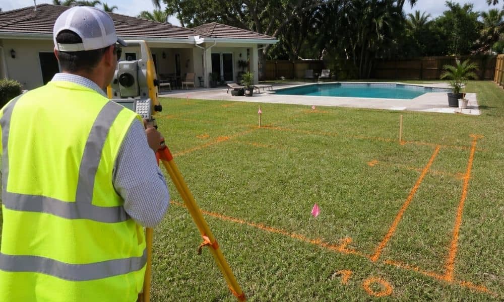
You finally decide to build a pool. The backyard looks big enough. The contractor says it can fit. Everything feels ready to go. Then the real questions start. Will it fit where you want it? Will the city approve it? Will anything underground get in the way? This is where a residential surveyor comes in. […]