In Florida, land development is everywhere. From high-rise condos to gated communities, there’s always something new being built. And before any of that can happen, there’s one thing developers must do: get a boundary line survey. This survey shows exactly where a property begins and ends. It’s supposed to help prevent disputes between neighbors and make sure no one builds on land they don’t own.
But here’s the thing — sometimes a boundary line survey isn’t enough.
That’s exactly what happened recently in Florida City, where a simple construction project turned into a neighborhood nightmare.
A Retaining Wall That Sparked a Fight

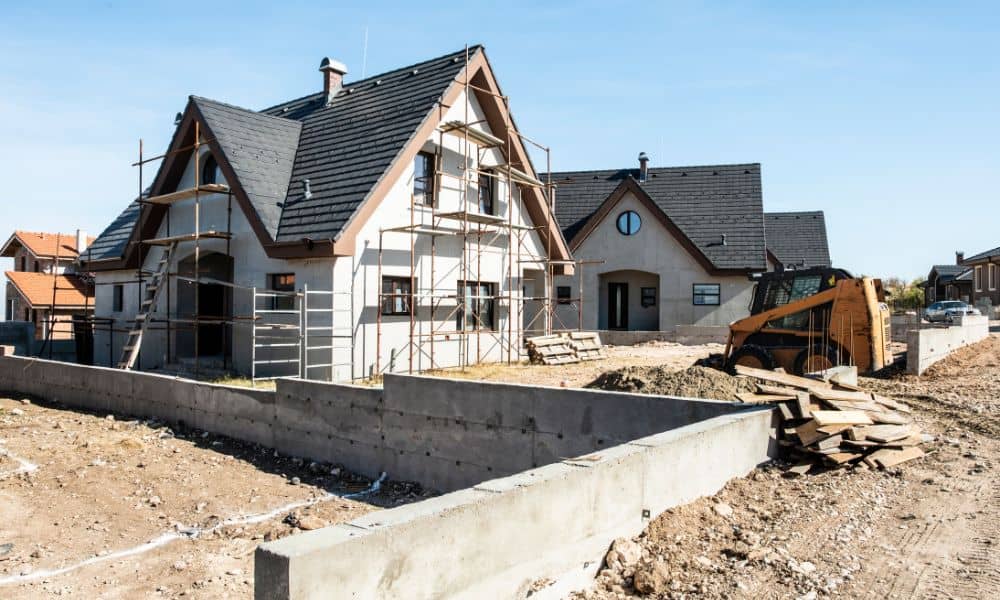
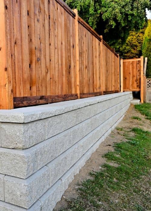
In a gated community just south of Miami, developers started building a retaining wall next to some homes. They had a survey done. The stakes were placed. Everything looked fine on paper. But once the work began, problems started.
The construction crew brought in fill dirt to support the new wall. Unfortunately, the dirt didn’t stay in place. It spilled into the neighboring yards, damaging lawns and landscaping. Homeowners were shocked — and furious.
County inspectors showed up to check what went wrong. They confirmed something surprising: the survey stakes were in the right place. The boundary line survey had been done correctly. The developers didn’t cross the property line — at least not technically.
So why was there still damage?
Why the Survey Wasn’t Enough
This situation shows a big problem in construction: just knowing where the property line is doesn’t mean the job is being done responsibly.
Think of a boundary line survey like drawing a line with chalk on a basketball court. It tells you where the rules begin and end. But if someone plays too rough or pushes past the line, there’s still going to be trouble — even if they don’t technically step out of bounds.
In this case, the construction crew followed the line, but they didn’t control the fill dirt properly. That small mistake turned into a major mess for the neighbors.
What Developers Need to Do Better
Many developers treat the boundary line survey like a checkbox on their to-do list. They get it done, put the stakes in the ground, and then move on. But that’s not enough — especially in crowded areas like South Florida.
Here’s what responsible developers should be doing:
- Work closely with licensed land surveyors and civil engineers. Don’t just stop at staking. Make sure site grading, drainage, and retaining wall design all consider how materials will behave on the actual land.
- Use construction staking surveys. These are different from basic boundary line surveys. They guide the exact location of walls, pipes, and other structures — not just where the lot ends.
- Communicate with nearby homeowners. Letting them know what’s happening can prevent surprises and smooth out problems before they grow.
Why This Happens So Often in Miami
South Florida is packed. In places like Miami and Florida City, homes and lots sit close together. That makes mistakes easier — and more expensive.
A few inches of fill dirt in the wrong spot can destroy someone’s garden or cause flooding during a storm. And when property values are high, neighbors won’t stay quiet about it. They’ll speak up — and take legal action if they have to.
That’s why every step in the building process must be handled with care, not just the surveying part.
What Homeowners Can Learn From This
If you live next to a construction site, don’t assume everything is being done right just because you see survey stakes in the ground. You have a right to protect your property.
Here are a few smart moves:
- Take pictures of your yard and the stakes. If something changes or damage happens, you’ll have proof.
- Ask to see the boundary line survey. It’s a public record in most cases. You have the right to know where the line is.
- Get a second opinion. Hiring your own licensed land surveyor can be a good investment if you’re unsure.
- Talk to the builder or developer. Many times, problems can be avoided just by starting a conversation.
The Bottom Line: A Line on Paper Isn’t Always a Line in Reality
Boundary line surveys are important. They help define legal property lines and protect everyone involved in a real estate deal. But they are only the beginning — not the end — of good development.
In the Florida City case, everything looked legal. The stakes were correct. The paperwork was checked out. But real life is messy. Dirt moves. Water flows. Mistakes happen. And those mistakes cost time, money, and trust.
For developers, the lesson is clear: don’t stop at the stake. Think about how your project affects the neighbors. Plan for runoff. Manage your materials. And always work with experts who understand more than just the lines on a map.
For homeowners, don’t be afraid to ask questions. That little orange stake in the ground might not tell the whole story.
Final Thought
In land development, it’s easy to focus on plans, permits, and timelines. But at the heart of it all are people — homeowners, neighbors, families. Respecting property lines is more than following a boundary line survey. It’s about building with care, caution, and community in mind.


