When Florida approved the transfer of a prime piece of downtown Miami land, the headlines were everywhere. Most people focused on politics. But if you’re in real estate, development, or lending, the bigger story is about due diligence. The site is worth around $66 million and sits right next to Biscayne Bay. That makes it one of the most valuable—and most complicated—parcels in the city. Before any developer can break ground, they’ll need to know exactly what they’re dealing with. That is where an ALTA Land Title Survey comes in.
This survey doesn’t just outline the boundaries of a property. It digs deeper, showing easements, encroachments, flood zones, and access rights. In Miami, where water, tides, and regulations collide, an ALTA Land Title Survey isn’t just a formality. It’s a safeguard.
Miami’s Waterfront Comes with Hidden Challenges
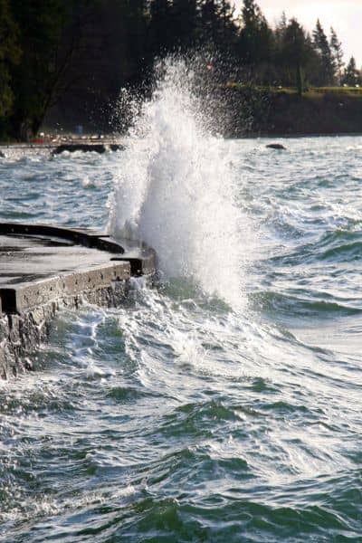
Miami’s waterfront is stunning, but it’s also fragile. Every year, high tides and storms test the limits of seawalls and drainage systems. A property that looks perfect on a sunny day can be underwater during a king tide.
FEMA flood zones already cover much of downtown Miami. That means new construction has to meet strict elevation requirements. Build too low, and you face flood risk, higher insurance premiums, and possible permit rejection.
Seawall regulations add another layer. Both Miami and Miami Beach require minimum seawall heights, usually between 5.7 and 6 feet NAVD88. If a property’s seawall falls short, the owner can be required to rebuild or raise it before construction. That can cost hundreds of thousands of dollars.
And then there are rights-of-way and easements. Downtown parcels often come with a patchwork of legal agreements, some dating back decades. Utility access, shoreline rights, and even neighbor encroachments can limit how the land can be used. Without identifying these restrictions early, developers can buy land that’s not as usable as they thought.
Why an ALTA Land Title Survey Matters
A standard boundary survey won’t catch all those issues. An ALTA Land Title Survey, on the other hand, is designed to uncover them. It follows strict national standards set by the American Land Title Association and the National Society of Professional Surveyors.
Because of those standards, the results are detailed, consistent, and trusted by lenders, title companies, and government agencies. For a high-profile site like the Trump Library parcel, that level of accuracy is the only way to move forward with confidence.
Here’s what an ALTA survey provides for waterfront properties:
- Flood zone identification. The survey shows if part of the land lies in a FEMA flood zone, which directly impacts design and insurance.
- Seawall mapping. It measures seawall heights and ensures they meet city regulations.
- Easement and encroachment detection. Any hidden utility line or neighbor’s structure gets flagged.
- Access confirmation. In dense urban areas, verifying driveways, walkways, and parking is critical.
Think of it this way: an ALTA Land Title Survey is like a property MRI. It shows the things you can’t see with your eyes but absolutely need to know before investing millions.
Miami’s Elevation Problem

One issue that makes Miami unique is elevation data. Many older surveys used NGVD29, an outdated vertical datum. Today, agencies require NAVD88.
That may sound technical, but it’s more than a detail. A design based on NGVD29 won’t line up with NAVD88 requirements. A mismatch can mean your project doesn’t meet flood criteria, which forces redesigns and delays.
An ALTA survey makes sure elevations are recorded in NAVD88, with clear notes on conversions. This is critical not only for permits but also for insurance and future elevation certificates.
Timing Your Survey the Right Way
In Miami, even the timing of a survey matters. High tides can change how land and seawalls appear. If a survey is taken during extreme tides, the data may not reflect normal conditions. That can create disputes when builders or inspectors review the results later.
Professional surveyors plan around king-tide calendars to capture the most accurate picture. This kind of local knowledge separates a basic survey from one that protects your investment.
Lessons from the Trump Library Land Deal
The transfer of land for the Trump Library is more than a political story. It’s a reminder that high-value, waterfront properties demand extra care. Without an ALTA Land Title Survey, buyers and developers risk walking into millions of dollars in surprises.
- Developers need to confirm that designs meet seawall and floodplain rules before spending money on plans.
- Buyers must know the exact limits of what they’re purchasing, including hidden restrictions.
- Long-term owners should document property conditions to add certainty and value for resale or refinancing.
If a project as high-profile as the Trump Library needs this level of due diligence, so does your property deal.
Why Skipping an ALTA Survey Can Cost You
Imagine buying a property and finding out later that part of it sits in a flood zone. Or discovering that a neighbor’s seawall cuts across your boundary. Or realizing too late that the seawall doesn’t meet elevation rules.
These problems don’t just delay construction. They add costs, create legal battles, and can even lower the value of the property. An ALTA survey catches them before they become your problem.
Final Thoughts
The Trump Library land deal highlights a simple truth: in Miami, owning waterfront property without an ALTA Land Title Survey is a gamble. Between flood zones, seawall rules, and hidden easements, the risks are too high to ignore.
An ALTA survey gives you the clarity to move forward with confidence. It reveals the real conditions, protects your investment, and ensures your project is built on solid ground—literally and legally.
If you’re planning to buy or develop, don’t skip this step. An ALTA Land Title Survey can be the difference between a smooth closing and a costly mistake.


