If you’re a contractor, you’ve probably heard the buzz about drone surveying. It’s changing the way land and construction sites get measured and mapped. Unlike old-school methods that can take days or weeks, drone surveying uses flying cameras to capture detailed data quickly and accurately. This technology isn’t just a neat gadget — it’s reshaping how projects get planned, approved, and built, where fast growth and environmental rules make every detail count.
Why Miami’s Construction Scene Needs Faster, Smarter Surveys
Miami is booming. New condos, office towers, and mixed-use developments pop up almost every day. But building here isn’t easy. The city faces tough challenges like flooding risks, strict zoning laws, and rising sea levels. That means contractors can’t afford to wait around for slow or inaccurate surveys. Mistakes can cost time and money, or even stop a project in its tracks.
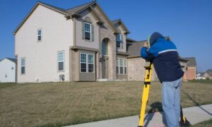
Traditional land surveying methods usually involve people walking the site, using tripods and measuring tools. This process is slow and sometimes dangerous — especially in hard-to-reach areas like wetlands or busy urban neighborhoods. Plus, getting the permits you need requires exact elevation data to prove your site won’t flood or violate city rules.
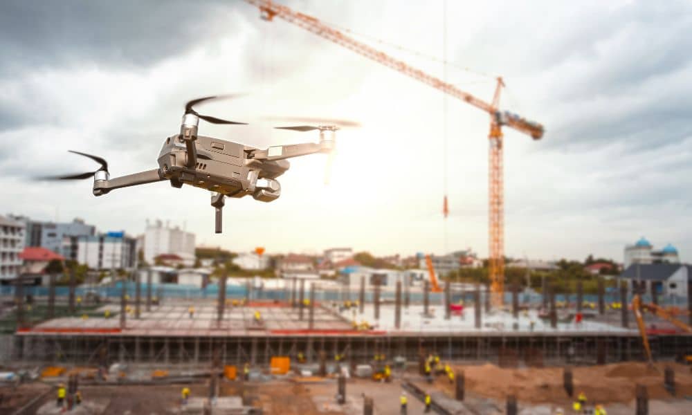
That’s where drone surveying steps in. By flying over a site and snapping thousands of pictures, drones create precise 3D maps in a fraction of the time. These maps help you see the land’s shape, boundaries, and elevation like never before.
What Drone Surveying Brings to the Table

First, speed. Instead of waiting days for surveyors to finish, drones can gather data in hours. This means your planning and construction teams get faster answers and can move on to the next steps without delay.
Second, accuracy. Drone cameras and sensors capture millions of data points. This level of detail helps identify things that might be missed on foot, like small dips or slopes that could cause drainage problems or flooding. For contractors, this is especially important for getting FEMA flood elevation certificates, which show that your building meets flood safety standards.
Third, safety. Sending people into dangerous or tricky spots isn’t always safe or practical. Drones fly over those areas easily, reducing risk to your team.
Finally, ongoing monitoring. Drone surveying isn’t just for the beginning of a project. It can track progress, check that construction matches plans, and catch problems early — saving headaches and extra costs.
The Legal Side: Don’t Skip the License Check
Even though drone surveying sounds amazing, it’s not a free-for-all. In Florida, and especially in Miami, only licensed land surveyors can certify the data used for official purposes like mortgage closing surveys, boundary surveys, and elevation certificates. This means that hiring someone with just a drone and camera isn’t enough.
A recent trend across states shows courts pushing back against unlicensed drone operators offering “surveying” services without proper certification. For example, North Carolina has ruled that drone mapping must be supervised or signed off by a licensed surveyor. While Florida hasn’t cracked down fully yet, it’s wise for contractors to stay ahead of regulations.
So, when working with drone surveying companies, always check if they’re licensed land surveyors. Ask for their certifications and make sure the data they provide meets local and federal rules.
How Miami’s New Drone Initiatives Affect You
Miami is starting to officially embrace drone surveying as part of its planning and inspection processes. Local government groups are working to integrate drone technology into public projects and environmental reviews.
For contractors, this means that drone-based surveys could soon become a standard or even a requirement when applying for county permits, zoning approvals, or environmental assessments. Learning how to work with drone surveying now will give you a clear advantage as these changes take hold.
As drone technology continues to advance and more projects rely on it, the demand for faster, more accurate, and cost-effective surveying will only increase. Staying ahead of this trend will help you remain competitive in the busy construction market.
Practical Tips for Contractors Using Drone Surveying
If you’re ready to bring drone surveying into your workflow, here are some things to keep in mind:
- Partner with licensed surveyors. This ensures your data holds up for loan closings, permits, and legal needs.
- Understand what the drone can and can’t do. Drones excel at aerial mapping and elevation, but complex boundary disputes might still need on-the-ground checks.
- Make sure your drone provider offers full reports. Raw images are great, but you need processed maps and elevation certificates to satisfy regulators.
- Use drone surveys early and often. Don’t just rely on one initial scan; repeat flights during construction can catch issues early.
- Stay informed on regulations. FAA rules and Florida policies change regularly. Keep up to date to avoid surprises.
Why Contractors Who Embrace Drone Surveying Win
In Miami’s tough market, the projects that move fastest and meet rules without hiccups are the ones that succeed. Drone surveying gives contractors a big edge by cutting survey time, improving accuracy, and reducing risk. It helps you deliver projects on time, stay compliant with flood safety rules, and build smarter in tricky coastal environments.
At the same time, ignoring drone technology could leave you behind. Clients and developers expect innovation. If your competitors use drones to speed up permitting and catch problems early, you might lose out.
Final Thoughts:
Drone surveying is not just a passing trend — it’s a new way of working that’s here to stay. For contractors facing environmental challenges, tight deadlines, and complex regulations, it’s an essential tool.
Start by finding trusted, licensed drone survey partners who know the local rules. Educate your team about what drone surveying can deliver. And use this technology to make smarter decisions, build safer, and keep projects moving.
In the end, contractors who embrace drone surveying will lead the booming construction industry into a faster, safer, and more efficient future.
