New Coastal Rules Make Drone Land Surveying Essential
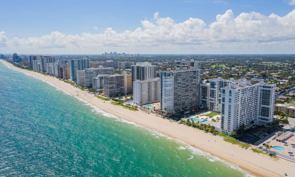
Florida just made a big move that affects anyone who owns, buys, or plans to build near the coast. On December 4, 2025, the Florida Department of Environmental Protection (FDEP) updated its online GIS tool for locating the Coastal Construction Control Line, also known as the CCCL. This tool shows exactly where special coastal rules […]
What Is Your Property Survey Telling You About Your Block?
If you live in Miami, you’ve probably heard about the Coral Way rezoning fight. A property owner at 7945 SW 24th St wants to change the zoning from RU-1 (single-family) to RU-5A (semi-professional office). Neighbors pushed back, worried it will bring more traffic, more noise, and a slow shift away from the quiet feel of […]
Sea-Level Rise: What a Flood Elevation Survey Reveals

Miami is used to big headlines, but the newest reports hit a little harder than usual. Several news outlets this week warned that rising seas could reach dangerous levels by mid-century, putting low-lying parts of the city at higher risk. Videos of flooded streets in Brickell and Miami Beach spread fast online, and people began […]